Natuurgebied De Aarlesche Peel | De Rips
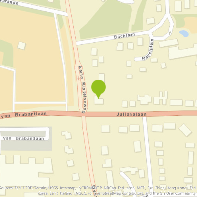
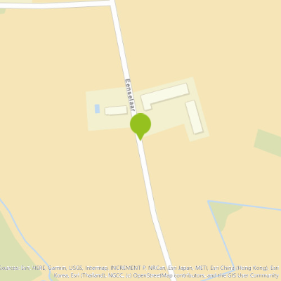
Aarlesche Peel
The Aarlesche Peel is named after the municipality of Aarle-Rixtel which had obtained this area in 1864 at the division of the Bakelse Peel.
The Roelvink brothers subsequently bought this area and had the heath reclaimed.
In 1850, the topographic map showed mention of this area with an "old hand marker."
Stately avenues in this former park area.
Source: Walking in De Rips. B. Ploegmakers.
You may also be interested in
-
Onze Lieve Vrouw Middelares Aller Genadenkerk - Peeleik 4 Helmond
Onze Lieve Vrouw Middelares Aller Genadenkerk - Peeleik 4 Helmond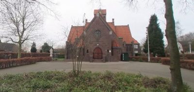
HELMOND
Heritage, Church
-
Pastorie Hoofdstraat 157 - Helmond
Pastorie Hoofdstraat 157 - Helmond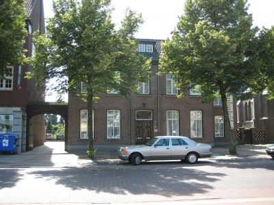
HELMOND
Heritage, Sight, Monument
-
Klooster Prins Karelstraat 100 - Helmond
Klooster Prins Karelstraat 100 - Helmond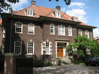
HELMOND
Heritage, Sight, Monument
-
Heemkundekring De Lange Vonder
Heemkundekring De Lange Vonder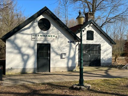
According to the dictionary, botany is knowledge of the local history of a region and its inhabitants.
Beek en Donk
Heritage, Sight
-
Voormalig bankgebouw Kanaaldijk N.W. 41 en Steenweg 2-4 - Helmond
Voormalig bankgebouw Kanaaldijk N.W. 41 en Steenweg 2-4 - Helmond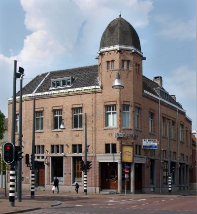
Helmond
Heritage, Sight, Monument
-
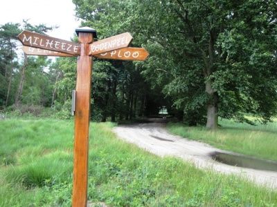
Country Estate Nederheide
Country Estate Nederheide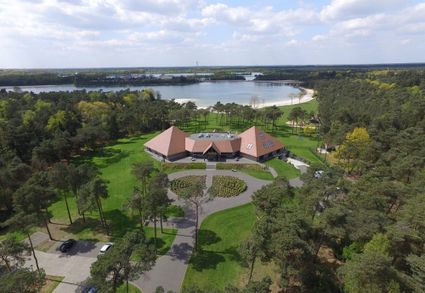
Country Estate Nederheide is located in nature reserve The Brabant Peel near the village of Milheeze....
Milheeze
Nature reserve, Bungalow park, Nature and Recreation
-
WWII: Freya zoekradar | De Rips
WWII: Freya zoekradar | De Rips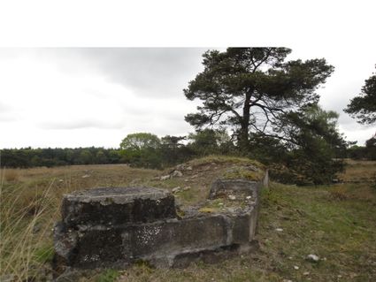
Freya search radar position with the remains of radar system blown up by the Germans themselves as part...
De Rips
Heritage, Sight, Military heritage