Grenspaal Paal achter 't Zand | De Mortel
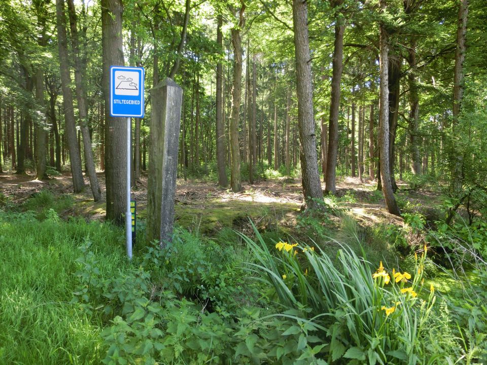
Post Achter 't Zand Old boundary post between Gemert and Bakel.
This boundary post is located in a drifting area, where it is very sandy. Here the Peel area precisely does not have the characteri…
Post Achter 't Zand Old boundary post between Gemert and Bakel.
This boundary post is located in a drifting area, where it is very sandy. Here the Peel area precisely does not have the characteristics of a swamp. East of this ancient boundary between the former municipality of Gemert and the former municipality of Bakel and Milheeze is the Weijser Paal and west the Stippelberg Paal. The boundary posts form a straight line above the Stippelberg, where the border used to be. Probably the pole was so named because, seen from Bakel, this was the boundary pole that stood behind the "sand mountains" of the Stippelberg. At that time there were no trees anywhere here and the story went that during sand drifts towards Bakel it sometimes stormed up to the height of the windows of the church. The Bakel citizens and farmers brought the sand back together with carts. Sand drifts such as those also found in Handel were caused by an excess of grazing cattle and sod cutting that did not give the vegetation on the poor soil time to renew itself. The area was literally eaten bare.
Sources: J. Timmers, Langs de palen, 2002, Heemkundekring De Kommanderij, Gemert.
Neem contact op
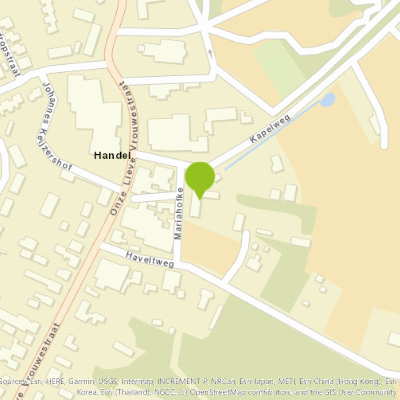
T-kruising Fazantweg - Langs de Palen
5425 RM De Mortel Plan your route
from your location
You may also be interested in
-
Fabriekscomplex Nedschroef Kanaaldijk N.W. 69, 71, 71a - Helmond
Fabriekscomplex Nedschroef Kanaaldijk N.W. 69, 71, 71a - Helmond
Helmond
Heritage, Sight, Monument
-
Virmuntse Hoeve
Virmuntse Hoeve
Former farmhouse, owned for centuries by the Teutonic Order and the Chapel of Handel.
Handel
Heritage, Sight, Monument
-
Presbytery Beek en Donk
Presbytery Beek en Donk
The presbytery of St. Michael's Church is located to the east of this church and connected to it via...
Beek en Donk
Sight, Monument
-
Natuurgebied Beestenveld | De Rips
Natuurgebied Beestenveld | De Rips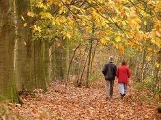
The Beestenveld is a forest area of about 362 ha owned by the Forestry Commission.
De Rips
Heritage, Nature reserve, Nature and Recreation
-
Natuurgebied Landgoed De Krim | Elsendorp
Natuurgebied Landgoed De Krim | Elsendorp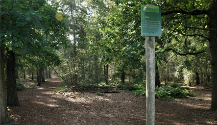
Peellandgoed De Krim consisting of heathland, fens and a pingo.
Elsendorp
Heritage, Nature reserve, Nature and Recreation
-
Woonhuizen Houtse Parallelweg 102 tot en met 111 - Helmond
Woonhuizen Houtse Parallelweg 102 tot en met 111 - Helmond
HELMOND
Heritage, Sight, Monument
-
Castle Asten-Heusden
Castle Asten-Heusden
On the edge of the Peel, hidden behind lush vegetation, lie the romantic remains of the more than 600-year-old...
Asten-Heusden
Sight, Castle or Manor, Art and Culture, Guided tour
-
Hervormde begraafplaats - Molenstraat 70 Helmond
Hervormde begraafplaats - Molenstraat 70 Helmond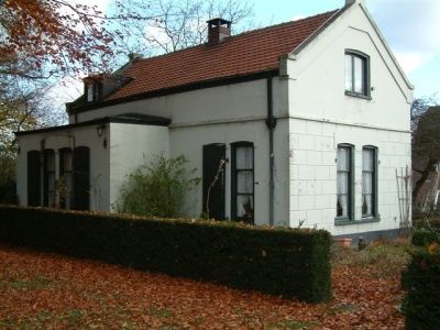
HELMOND
Heritage, Sight
-
Molen De Volksvriend | Gemert
Molen De Volksvriend | Gemert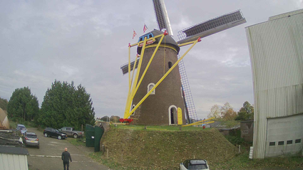
Mill De Volksvriend is a round stone upper mill in Gemert. It is located on the Oudestraat that leads...
Gemert
Heritage, Sight, Mill or Pumping station
-
Woningen - Watermolenwal 2-7 Helmond
Woningen - Watermolenwal 2-7 Helmond
Helmond
Heritage, Sight, Monument